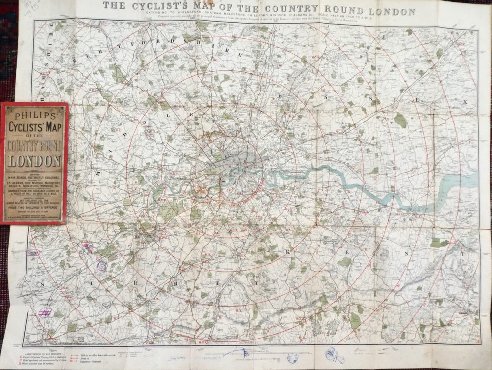
A cycling map with helpful 6-mile orbital rings! It’s obvious why this was a treasured Christmas gift for me. It’s the date – 1887 – that makes the map really fascinating, for the 1880’s are the years when the modern bicycle was developed, with a bicycle boom following in the 1890’s. Not only that, by 1887 London’s rail network was largely complete, but the huge suburban expansion that was to follow in its wake had hardly begun. Apart from the Underground’s tube network, all that is missing from this map is the Grand Central line from Marylebone to Birmingham via Neasden and West Ruislip (where Spoke 9N begins), which was completed in 1899, and the line from Enfield to Hertford North, serving Crew’s Hill station (C25’s Spoke 1). This, the Hertford Loop extension, was begun in 1905 but not completed on to Stevenage until 1924.
So this intriguing moment in time is when London was about to explode outwards thanks to the century’s great invention, the railways. Lesser known however is the fact that the road network is now rapidly being improved, not to serve the demands of the internal combustion engine – that’s 10-20 years away – but to accommodate the needs of a burgeoning new form of transport, the bicycle.
 In order to access rural recreational riding, the C25 circles London at about 20 miles from the centre. At its furthest point (Harpenden), it’s 30 miles from Charing Cross. But look at the second radial circle on this map of 134 years ago. That’s 12 miles, and roughly where the N and S Circular roads are now. But then an orbital ride would be every bit as rural as contemporary Bucks, Essex or Surrey. Magnify the map image and you can see the familiar names of Southgate, Plaistow, Eltham, Norwood, Ealing, Willesden and Hendon set beside what are are little more than country villages. For the time being, that is…